LL100 4G Cellular Smart Label
A cellular-enabled smart label that determines or assists its location using GNSS, Wi-Fi, Bluetooth and supported network methods — then transmits location and condition data to the cloud over its own cellular connection.
Content last reviewed: 2026-08-20 — cellular/GNSS positioning approved; imagery, model and activation verified from approved assets
Best for
Where it fits
- Higher-risk shipments requiring autonomous reporting
- Door-to-door visibility without depending on a participating detector
- Pharma cold-chain and GDP-regulated lanes needing position history
- Remote or unaccompanied legs where richer sensor information matters
Capabilities
What it does
- Multiple location inputs: GNSS satellite positioning, Wi-Fi positioning, Bluetooth scanning and supported cellular-network-assisted methods
- Integrated cellular connectivity (eSIM) relays data to the cloud — no participating detector required
- Configurable reporting intervals to balance battery life vs update frequency
- Position history, geofence events and route playback in GoAndTrack
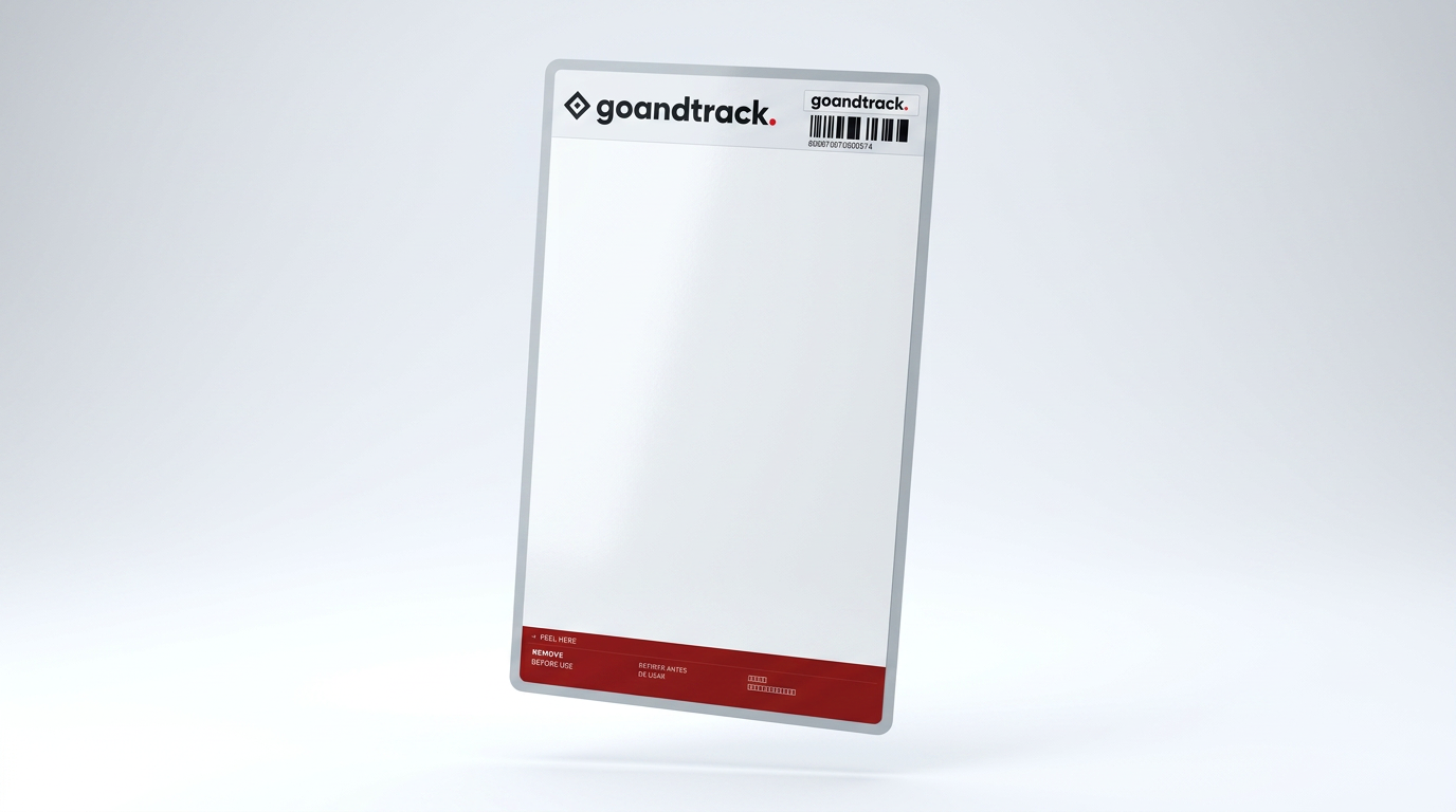
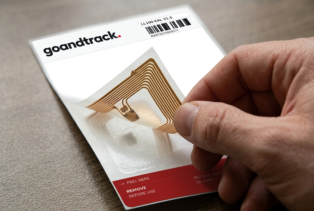
- Peel-strip activation — remove the tab marked “peel here” before use
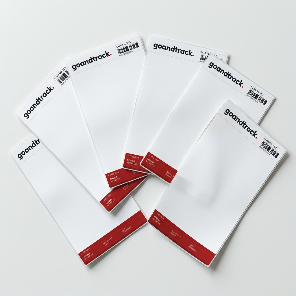
- Unique barcode serial printed on every label
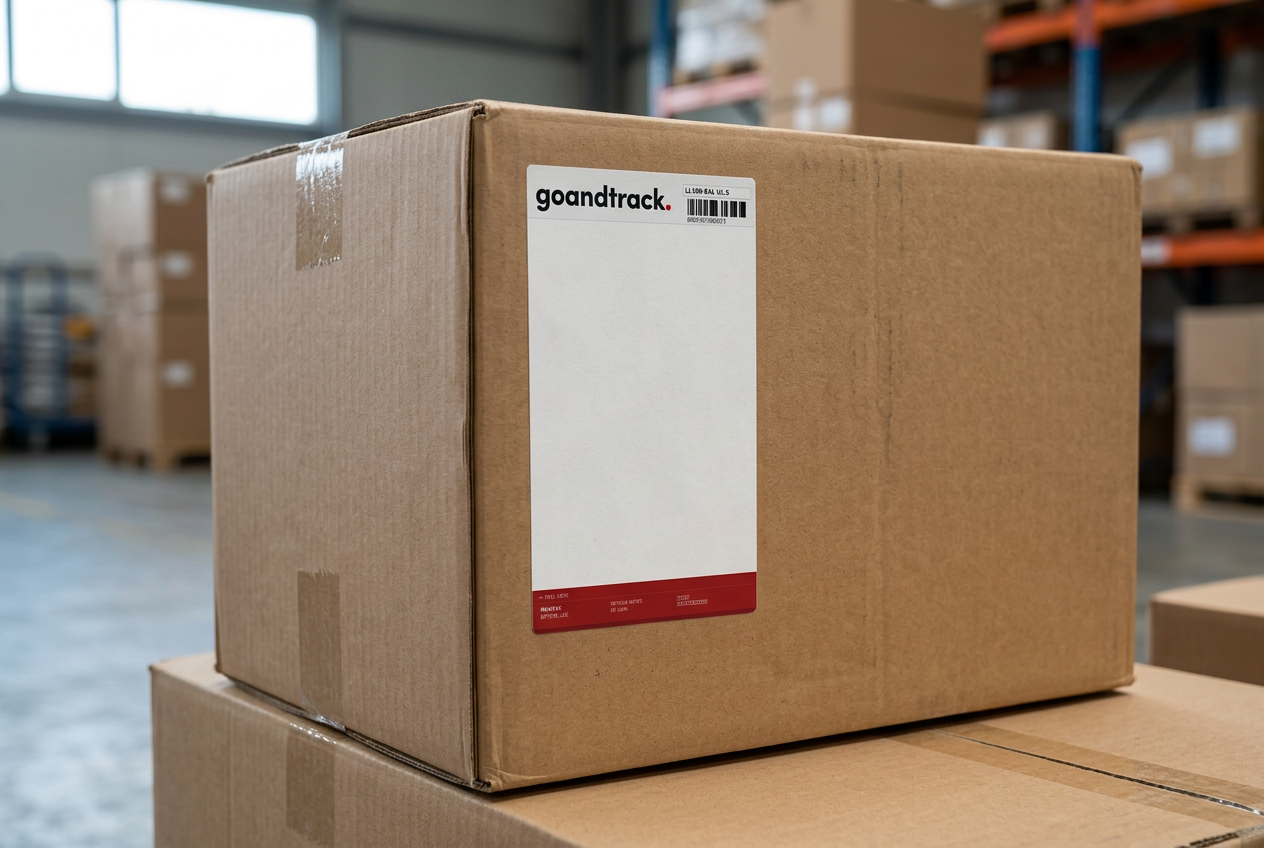
- Slim label format suited to parcels, pallets and containers
Transparency
How the LL100 produces a location
The LL100 is a cellular-enabled smart label. It can determine or assist its location using GNSS satellite positioning, Wi-Fi positioning inputs, Bluetooth scanning and supported cellular-network-assisted methods.
It then uses its own integrated cellular connection to relay location and condition data to the cloud — it does not depend on encountering a participating Bluetooth detector to report an event.
This gives it a more autonomous reporting architecture than the GNTS1. Note that cellular-network location accuracy can vary significantly with network conditions and the positioning method available — cellular positioning is not universally equivalent to GNSS.
The label reports through its own cellular connection — a more autonomous architecture. Positioning accuracy varies with the method available; cellular-network location is not universally GNSS-equivalent.
Specifications
The numbers — verified and pending
- Model
- LL100-EAL V1.5
- Architecture
- Cellular-enabled label — GNSS, Wi-Fi, Bluetooth and supported network-positioning inputs
- Onboard positioning
- GNSS satellite positioning, with Wi-Fi / Bluetooth / network-assisted support
- Connectivity
- Integrated cellular (eSIM) [bands to verify]
- SIM requirement
- Integrated cellular connectivity / eSIM
- Reporting interval
- Configurable — deployment-dependent
- Battery life
- Up to [X] — strongly dependent on reporting interval
- Form factor
- Slim adhesive smart label [dimensions to confirm]
- Sensors
- [To verify against datasheet]
- Operating temperature
- [To verify against datasheet]
Specifications marked with an asterisk or shown in [brackets] are pending verification against final manufacturer datasheets. Reporting behaviour and battery life depend on configuration and deployment conditions. Always validate suitability for your application with GoAndTrack before purchase.
Activation: Peel off the activation strip marked “peel here — remove before use”, apply the label to the shipment, and it begins reporting on its first position fix.
Operating life: Up to [X] days/weeks depending on reporting interval and signal conditions — confirm current figures with GoAndTrack.
Honest limits
What it doesn't do
Buying the wrong label is expensive. These are the boundaries we'd rather you knew now.
- Higher per-unit cost than the GNTS1 — best reserved for shipments that justify it
- Requires supported cellular coverage; gaps in coverage delay updates until reconnection
- Cellular-network location accuracy varies with conditions — not universally equivalent to GNSS
- Air freight use requires a verified flight mode and airline acceptance [to verify]
FAQs
LL100 questions, answered straight
How is the LL100 different from the GNTS1?
The LL100 is a cellular-enabled smart label: it determines or assists its own location using GNSS, Wi-Fi, Bluetooth and supported network methods, then transmits data to the cloud through its own cellular connection. The GNTS1 instead emits a secure Bluetooth signal detected and relayed by the partner device network — no SIM, lower per-unit cost.
Is cellular positioning as accurate as GPS?
Not universally. GNSS outdoors is the precise input; Wi-Fi positioning, Bluetooth scanning and cellular-network-assisted methods can vary significantly with network conditions and environment. The label uses the best input available at each moment.
Does it work indoors or inside containers?
GNSS needs a view of the sky. Indoors or inside metal containers, the label can draw on Wi-Fi positioning, Bluetooth scanning or supported network-assisted methods, or pause until the next fix — accuracy varies with the method and environment. [Fallback detail to confirm.]
How often does it report its position?
Reporting intervals are configurable per deployment. More frequent updates give finer-grained history but consume battery faster — the trade-off is set during pilot configuration.
Can the LL100 fly on aircraft?
Cellular tracking devices generally require an approved flight mode and airline acceptance. [Status to be verified — confirm with GoAndTrack before air freight deployments.]
Need lower cost at high volume?
A thin, disposable Bluetooth smart sticker whose secure, encrypted signal is detected by compatible devices across a rapidly expanding partner network of 100M+ participating devices — and relayed securely to the cloud for visibility through GoAndTrack.
Not sure which label fits your lanes?
Tell us about your shipments and we'll tell you honestly which architecture fits — and when neither does.