Two ways to know where your goods are. One honest answer.
A disposable Bluetooth smart sticker, or a 4G cellular label that reports its own position. We explain exactly how each one works — including its limits — then help you pilot the right one.
Both products appear as location events in GoAndTrack. What differs is how the event is produced — a partner detection network, or the label's own cellular connection — and that drives cost, battery life and where each fits.
Bluetooth
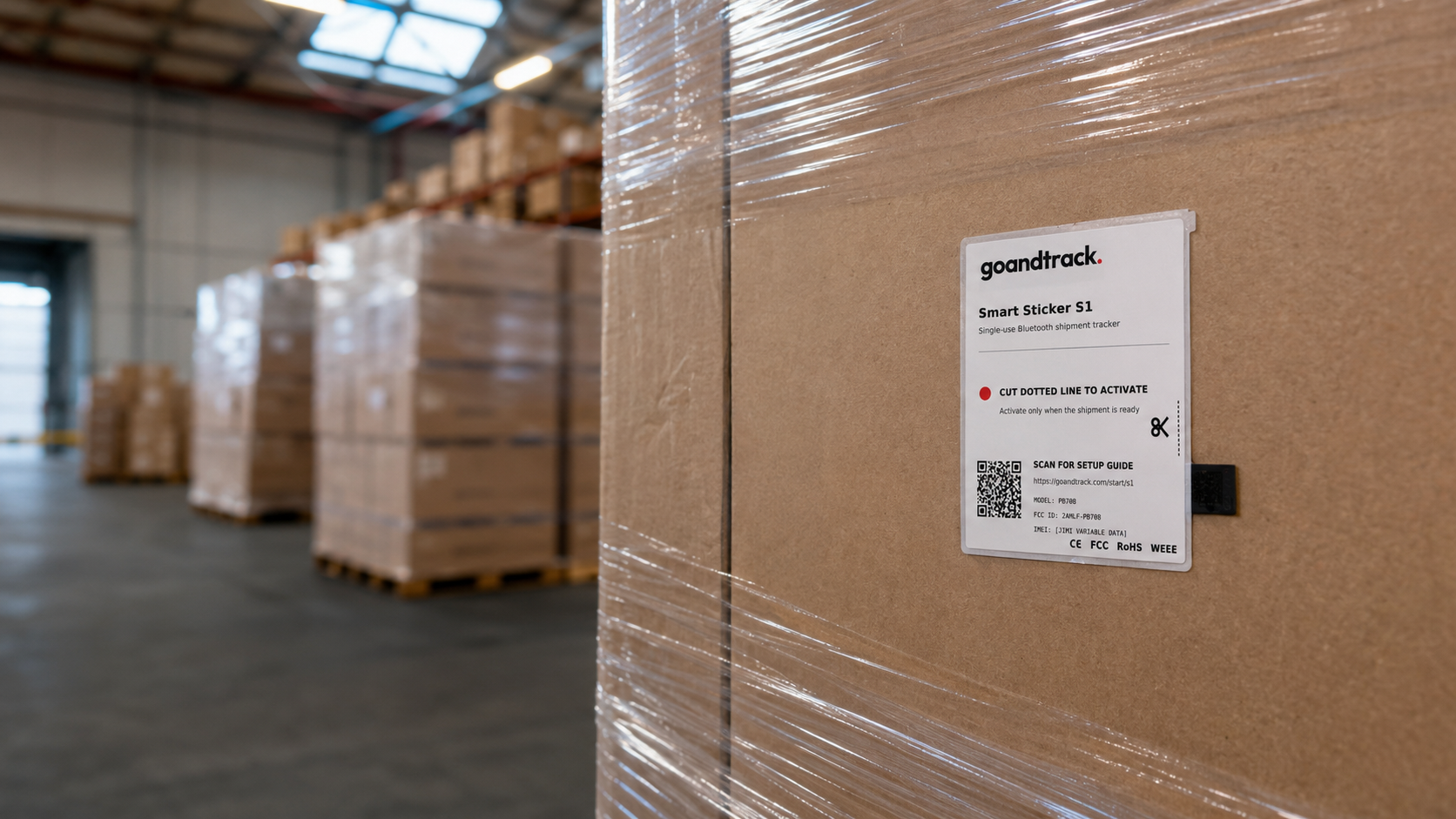
GNTS1 Bluetooth Smart Sticker
A thin, disposable Bluetooth smart sticker whose secure, encrypted signal is detected by compatible devices across a rapidly expanding partner network of 100M+ participating devices — and relayed securely to the cloud for visibility through GoAndTrack.
100M+ devices in the expanding detection network
Item- and carton-level tagging at scale
Visibility along busy lanes, hubs and populated routes
High-volume shipments where per-unit cost matters most
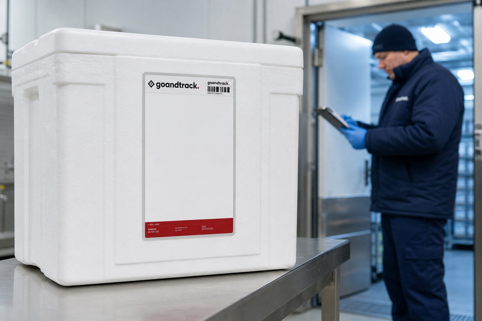
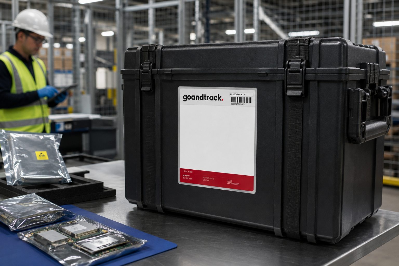
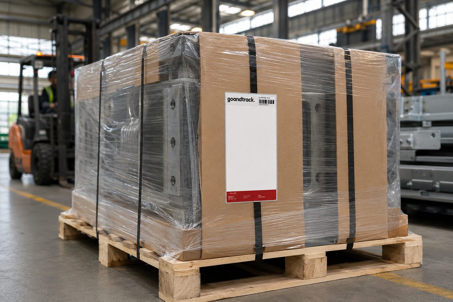
A cellular-enabled smart label that determines or assists its location using GNSS, Wi-Fi, Bluetooth and supported network methods — then transmits location and condition data to the cloud over its own cellular connection.
Do shipments move through lanes with everyday device activity?
Cities, hubs and busy transport routes → GNTS1 rides a 100M+ partner detection network at the lowest per-unit cost.
Do goods travel remote or unaccompanied, anywhere?
Sparse routes and higher-risk freight → LL100 reports through its own cellular connection.
The partner detection network
A smart sticker powered by the devices already moving through the world
GNTS1 emits a secure, encrypted Bluetooth signal that can be detected by compatible devices across a rapidly expanding partner network of more than 100 million devices. Participating smartphones, access points, IoT infrastructure and vehicle telematics systems securely relay detection events to the cloud, where shipment visibility is delivered through GoAndTrack.
No onboard GPS receiver or SIM card is required in the sticker. Location events are created when its Bluetooth signal encounters compatible participating infrastructure.
Detection availability and reporting frequency depend on the presence, configuration and connectivity of compatible participating devices. Network size does not guarantee detection at a particular location, on a particular route or at a fixed interval. Cellular-label performance similarly depends on coverage, configuration and operating conditions.
100M+
devices in the expanding detection network
60-second steer
Which label is your likely fit?
Four questions about your shipments. You get a starting hypothesis — never an automatic verdict. Every result ends with a human validation step.
Question 1 of 4
Four questions can't capture every lane. The result is a starting hypothesis, always checked with a human.
We say how location is produced
Every product page explains exactly where position data comes from — a partner detection network or the label's own cellular connection — and what each one can't do.
Unverified claims stay in brackets
Prices, certificates and battery figures awaiting approval appear as [placeholders], not polished guesses.
Pilot before purchase
A structured pilot on your real lanes replaces vendor promises with your own data — before you commit at scale.
We use privacy-respecting analytics (page views and feature interactions) to improve this site — only with your consent. Declining changes nothing about how the site works. See our cookie policy.